-
![]()
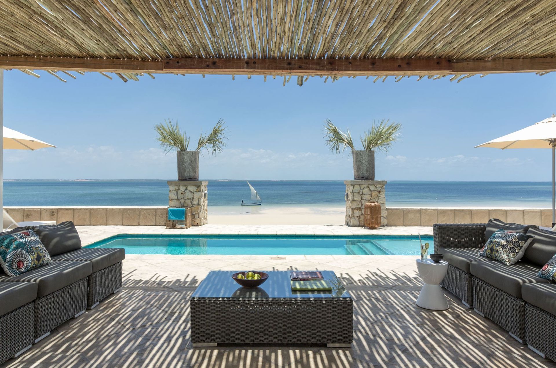
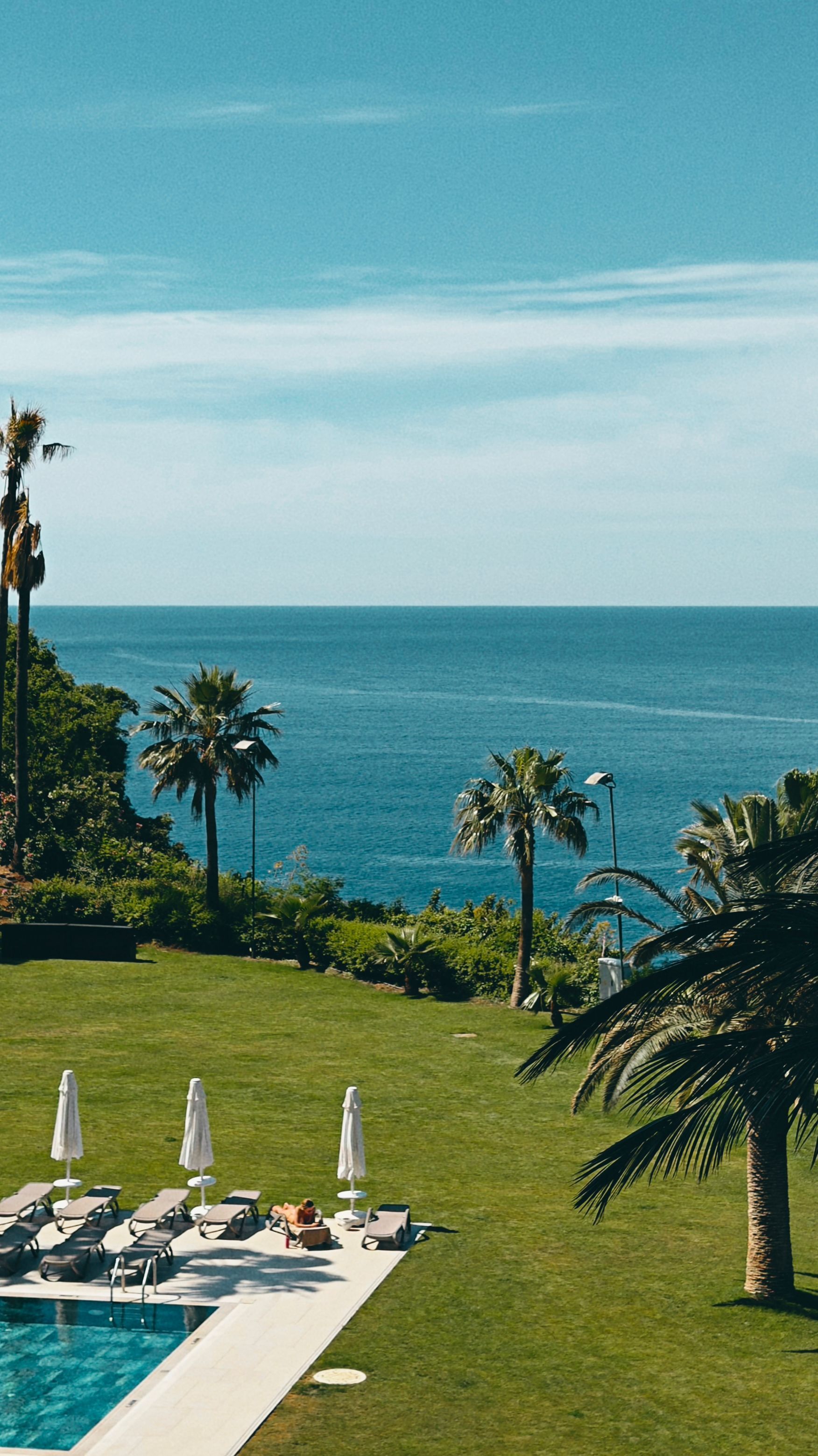
Azura Marlin Beach 5 Nights SADC Residents 2026
From R49 040 per person sharingSee Package
-
![]()
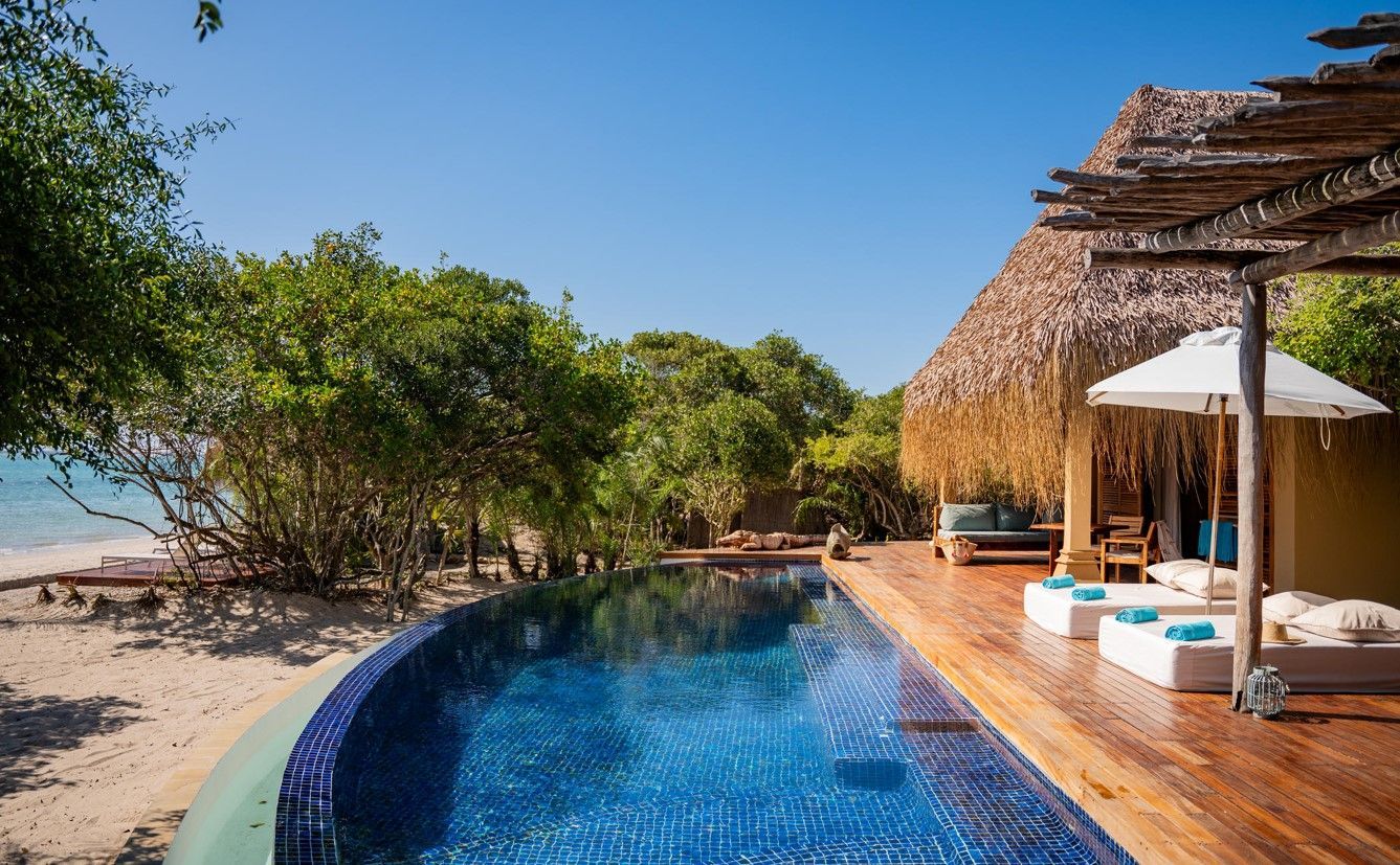
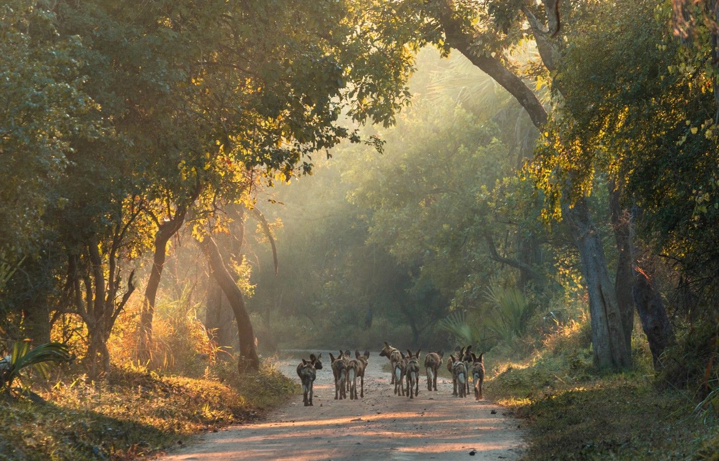
Okavango Delta Safari and Bazaruto Island Beach Holiday
10 Day Botswana and MozambiqueSee Package
-
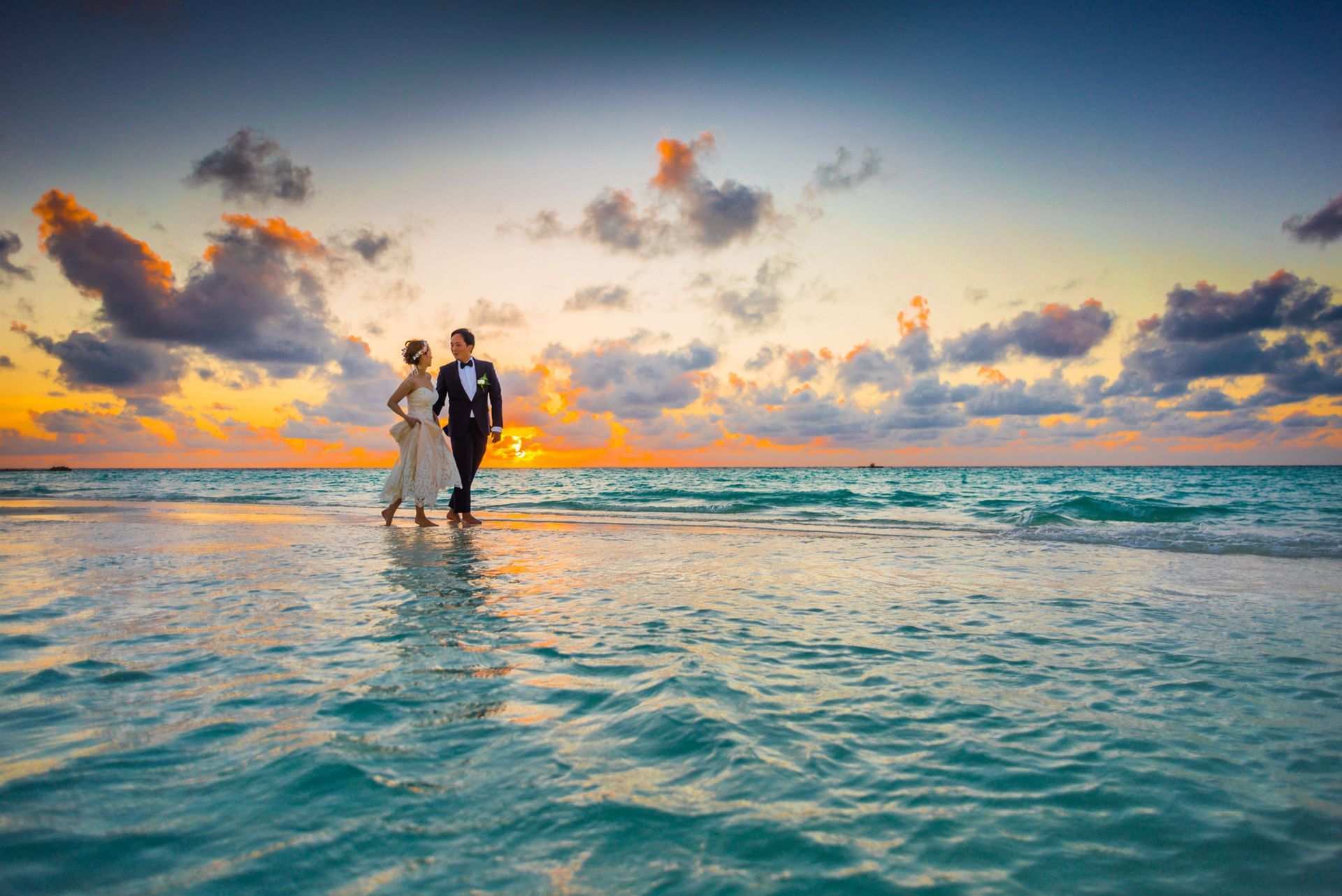
![]()
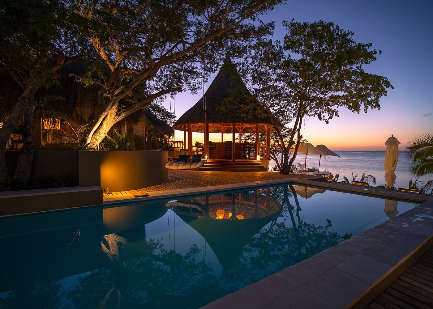
Mozawi Lodge Mozambique Private Beach Holiday
See Package
Discover the best Mozambique safari and beach holidays for 2027. Compare Kruger, Gorongosa, Benguerra Island and Vilanculos with expert planning advice.
Discover why Mozambique luxury holidays are attracting discerning travellers seeking exclusive beaches, safari and beach combinations and world-class lodges.
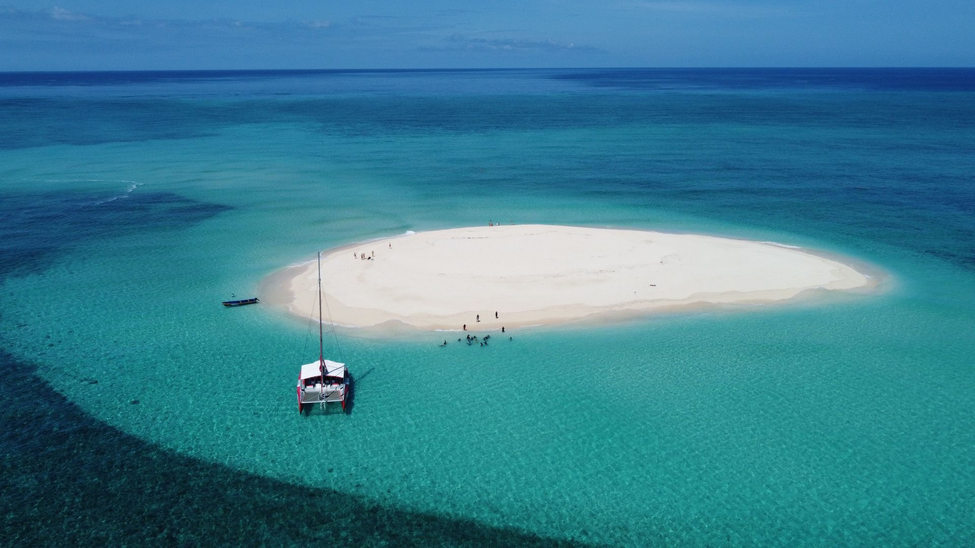
Discover why Vilanculos is becoming one of Mozambique's most popular holiday destinations for families, couples and safari-and-beach travellers.
Discover the best Mozambique family holidays in 2027, including beach resorts, villas, safari and beach combinations, costs, activities and expert planning advice.
Plan the perfect Mozambique honeymoon in 2027 with expert advice on Benguerra Island, Vilanculos, safari and beach holidays, luxury lodges and romantic experiences.
Discover why Gorongosa National Park is attracting safari travellers from around the world and how to combine it with Mozambique's leading beach destinations.